The Power of Precision: Leveraging Topographic Insights with K.O. Excavation Sep 28, 2025
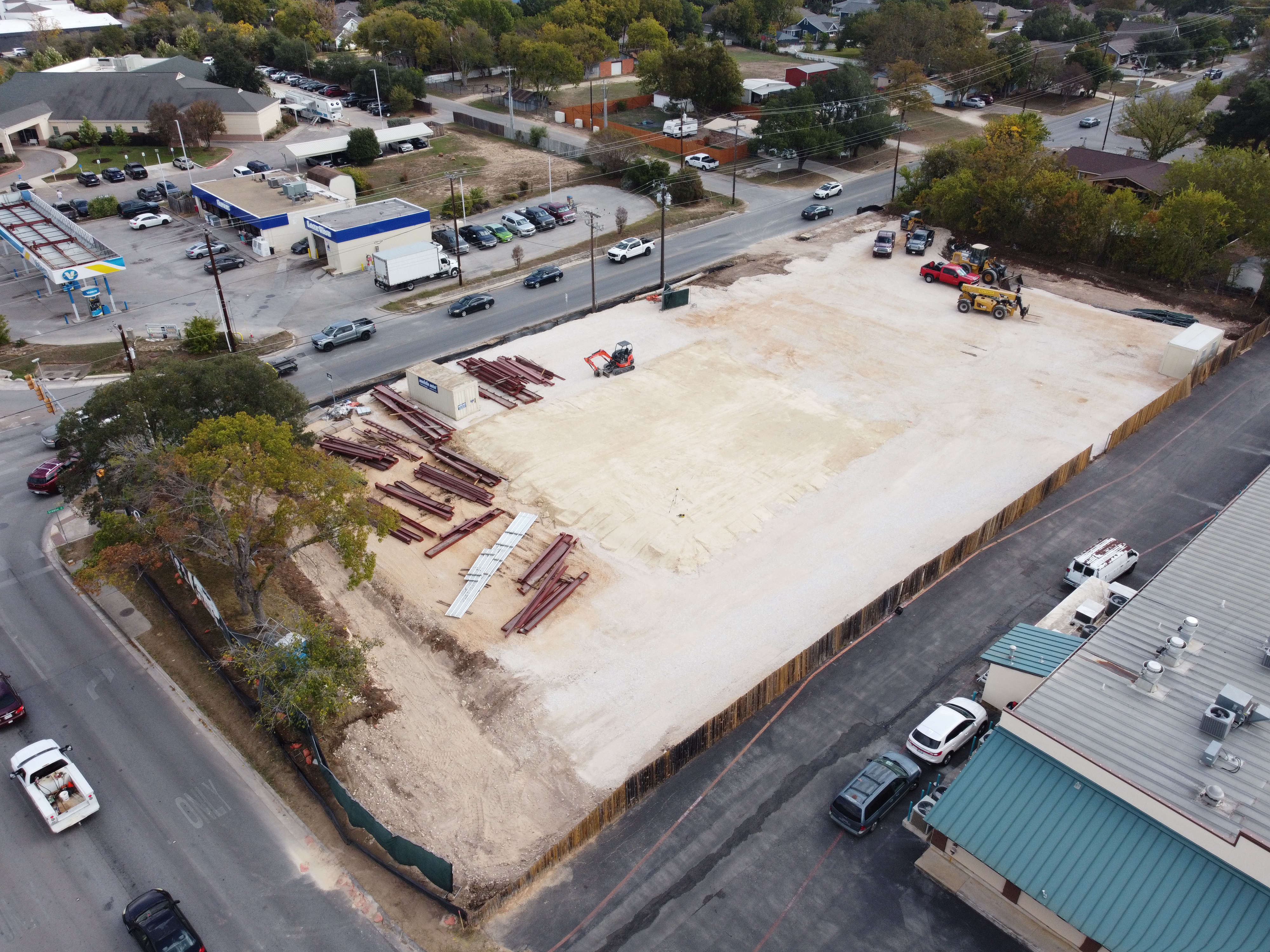
To begin with, topographic insights in excavation involve the accurate mapping of land elevations, contours, and features. This scientific approach allows us to understand the lay of the land thoroughly before commencing any excavation project. For our clients, this means that every dig is executed with minimal risk, maximum efficiency, and a greater respect for the natural landscape. But how exactly does this benefit construction and land development projects?
First and foremost, using topographic data ensures precision in planning and design. By having a detailed map of the terrain, potential obstacles can be identified and navigated early. This foresight reduces the likelihood of unexpected challenges during excavation, which can save both time and resources. For clients, this translates into projects staying on schedule and within budget, two critical factors in successful project management.
Moreover, utilizing precise topographic insights aids in compliance with environmental and zoning laws. As regulations become increasingly stringent, having detailed documentation of how a landscape is impacted by excavation activities is essential. At K.O. Excavation LLC, we ensure that each project not only complies with these laws but also aligns with environmentally sustainable practices. This commitment not only enhances our reputation but also offers peace of mind to our clients, knowing their projects adhere to the highest environmental standards.
Additionally, the precision of topographic data contributes to improved safety on the worksite. When our excavation teams have access to comprehensive terrain information, they can better anticipate and mitigate potential hazards. Safety is a top priority at K.O. Excavation LLC, and we believe that thorough preparation is key to protecting our workforce and the surrounding community. Clients can trust that their projects are carried out with the utmost consideration for safety protocols.
Furthermore, effective use of topographic insights facilitates enhanced collaboration with other stakeholders involved in a project. Whether working alongside architects, engineers, or municipal planners, sharing accurate terrain data enables all parties to work in synergy. This collaborative approach avoids miscommunications and ensures that everyone involved in the project has access to the same actionable information, leading to smoother operations and cohesive project outcomes.
In conclusion, topographic insights are not merely a tool, but a strategic asset in the excavation industry. At K.O. Excavation LLC, harnessing this data is integral to our operations, enabling us to deliver exceptional service tailored precisely to the unique contours of each project. For clients, the assurance comes from knowing that their projects will benefit from our attention to detail, commitment to safety, and dedication to sustainable practices. As we continue to innovate and refine our methods, we remain steadfast in our mission to provide results that not only meet but exceed expectations, proving that precision is indeed powerful.
/filters:no_upscale()/filters:format(webp)/media/65ba3774-c4bc-4d64-9b9f-efff82bd4210.jpeg)
/filters:no_upscale()/filters:format(webp)/media/1cffa5db-fc6e-4655-8616-904df94a44e2.jpeg)